The earliest known use of the upland areas of East Renfrewshire during the Neolithic and Early Bronze Age periods has recently been unearthed by GUARD Archaeology.
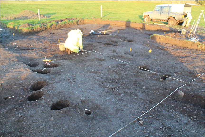
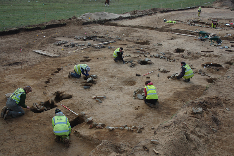
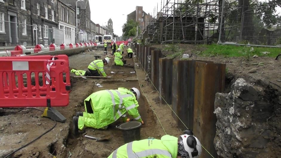
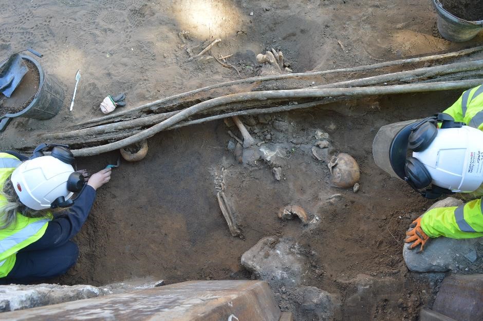
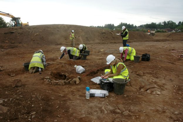
A newly published report reveals the results of GUARD Archaeology’s excavations at Maidenhill on the southern outskirts of Newton Mearns in East Renfrewshire, conducted between 2017 and 2018. The remains of early Neolithic and later pits, and evidence of Bronze Age burial practices were uncovered. Radiocarbon dates were obtained from a variety of features indicating activities throughout much of the fourth millennium BC and the second half of the third millennium BC.
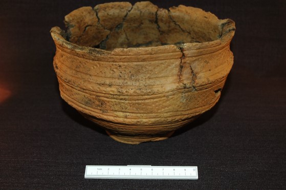
‘The ceramic assemblage from Maidenhill, when viewed with associated artefacts and comparison of features in which it was found, displays remarkable similarities with other archaeological sites in Ayrshire and South Lanarkshire,’ said Beverley Ballin Smith, who analysed the pottery fragments from the site. ‘A common culture is embedded in the pottery – in vessel manufacture, in shapes, designs and decorative motifs and the placement of those motifs. There may be slight differences in the execution of designs, indicating individual potter’s interpretations of the attributes of that common culture, but overall suggests close association between settlements of the Neolithic and Early Bronze Age in this part of Scotland.’
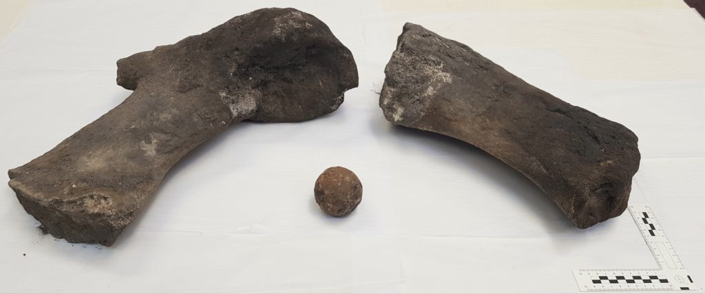
‘The evidence people left behind provides a picture of activities from the very end of the late Mesolithic, through the early and middle Neolithic, and into the early Bronze Age,’ said Maureen Kilpatrick who led the excavations. ‘As no permanent settlement was discovered, this landscape seems to have been a zone of transition, with people moving through it: they camped for what appears to have been short periods of times, and at certain times of the year. From the almost ubiquitous occurrence of hazel nutshells from pit fills, autumn seemed to be the time of greatest activity – gathering wild food, perhaps even hunting, as bones and flint fragments indicate. Grains of cereals were absent reinforcing the suggestion that travellers lived off the land.’
The prehistoric camp sites are marked by fire-pits, refuse pits, the occasional post-hole and stake holes. After use some of the pits received deposits of specific items. These included ‘exotic’ items of pitchstone, a fragment of a polished stone axe, and Antrim or Yorkshire flint, all from beyond the immediate area, as well as sherds of locally made pottery, which could have had meaning beyond that of the commonplace disposal of rubbish. Pits with similar ‘special’ deposits have been found in the wider area such as at Strathaven in South Lanarkshire, at Hillhouse in South Ayrshire and Drumclog in South Lanarkshire. The movement of peoples carrying with them exotic pieces of stone indicate that there may, already in the early Neolithic, have been established routes between the Firth of Clyde and Irish Sea area to the Firth of Forth and the North Sea.
‘The evidence revealed by the excavations at Maidenhill is important,’ added Maureen Kilpatrick, ‘as it indicates that prehistoric activity was occurring from an early period around the edges of the upland areas, and that those individuals who passed through this landscape brought with them ideas and practices from further afield.’
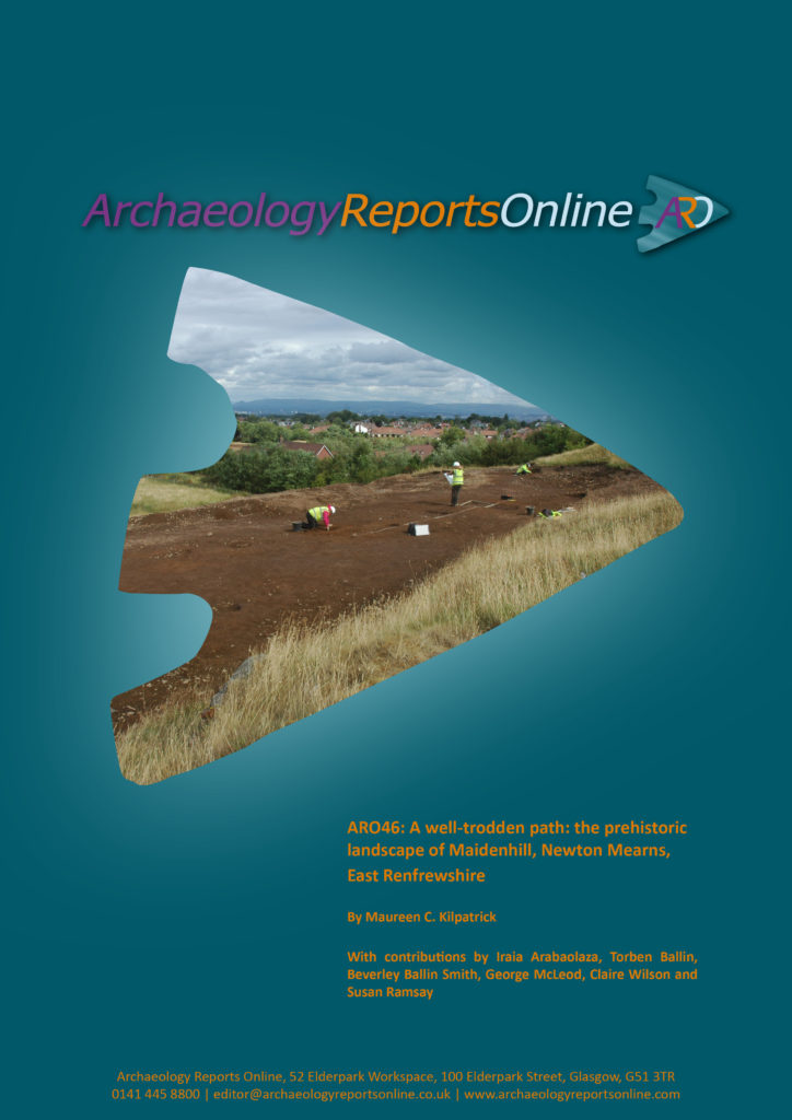
The archaeological work at Maidenhill was commissioned by CALA Homes (West) and Taylor Wimpey. ARO46: A well-trodden path: the prehistoric landscape of Maidenhill, Newton Mearns, East Renfrewshire by Maureen C. Kilpatrick is freely available to download from the ARO website – Archaeology Reports Online.